An Effort to Improve Landscape Connectivity in Massachusetts
The Massachusetts Department of Transportation, the Massachusetts Division of Fisheries and Wildlife - Natural Heritage and Endangered Species Program, and the University of Massachusetts have launched Linking Landscapes
for Massachusetts Wildlife (LLMW) a long-term and multifaceted volunteer based
monitoring program and planning collaboration to be implemented throughout the
state. Utilizing expertise from various state departments along with collaboration
with the public, LLMW's objectives are to:
·
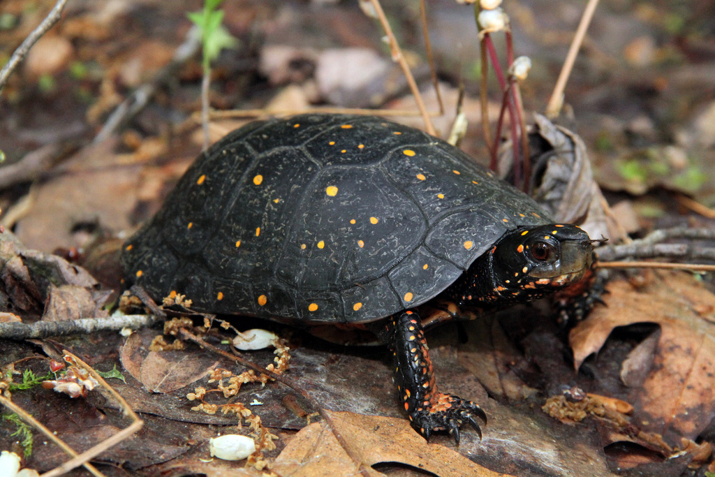
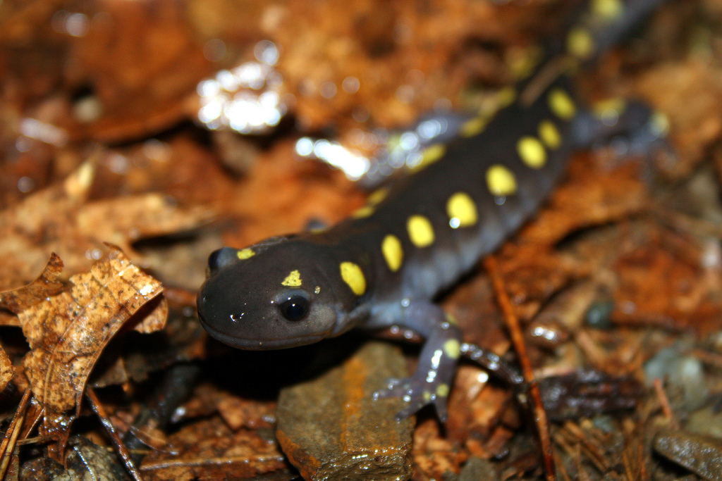
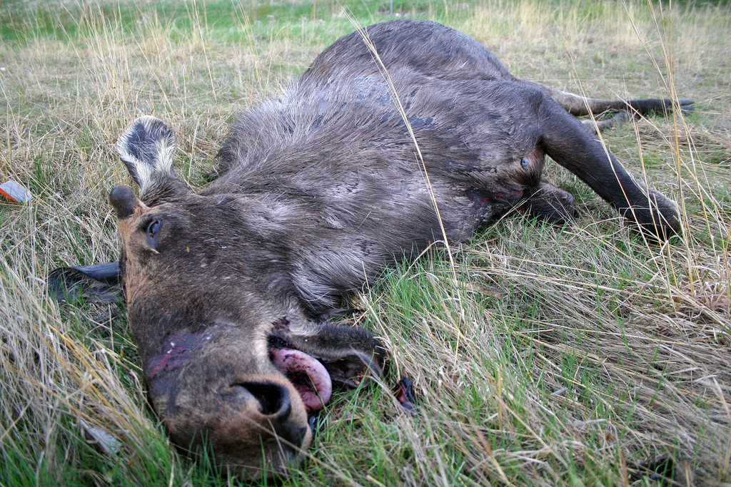
Reduce wildlife-vehicle collisions and
improve public safety
·
Enhance, protect, and restore habitats
impacted by roads
·
Incorporate conservation priorities into
transportation planning
·
Implement wildlife transportation and
research
This website represents an important strategic component: to gather information on the locations of wildlife roadkill hotspots. As a citizen, you can help by contributing data or volunteering to survey road segments. Or, feel free to read more about our proactive efforts to protect rare wildlife. Scroll down for links to our major projects.